for more threads like this one :
http://www.documentingreality.com/fo...me-line-45276/ 
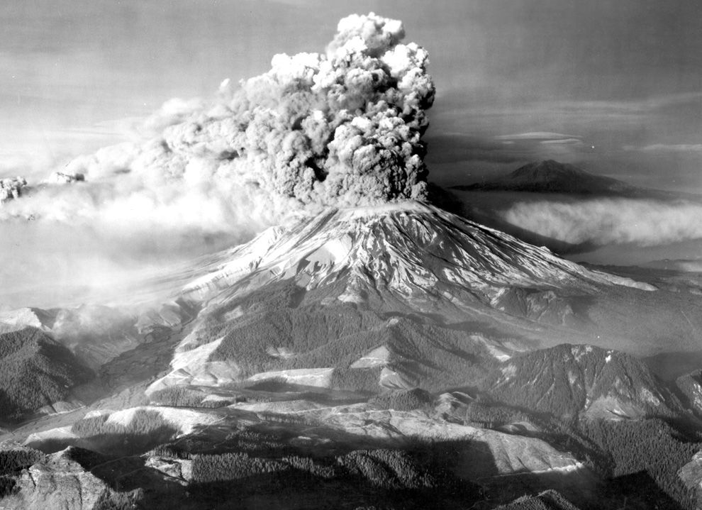
The 1980 eruption of Mount St. Helens, a stratovolcano located in Washington state, in the United States, was a major volcanic eruption. The eruption (which was a VEI 5 event) was the only significant one to occur in the contiguous 48 U.S. states since the 1915 eruption of Lassen Peak in California.
The eruption was preceded by a two-month series of earthquakes and steam-venting episodes, caused by an injection of magma at shallow depth below the volcano that created a huge bulge and a fracture system on Mount St. Helens' north slope.
USGS scientists convinced the authorities to close Mount St. Helens to the general public and to maintain the closure in spite of pressure to re-open it; their work saved thousands of lives.
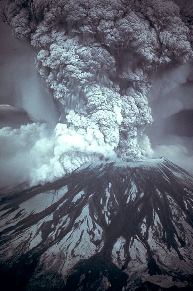
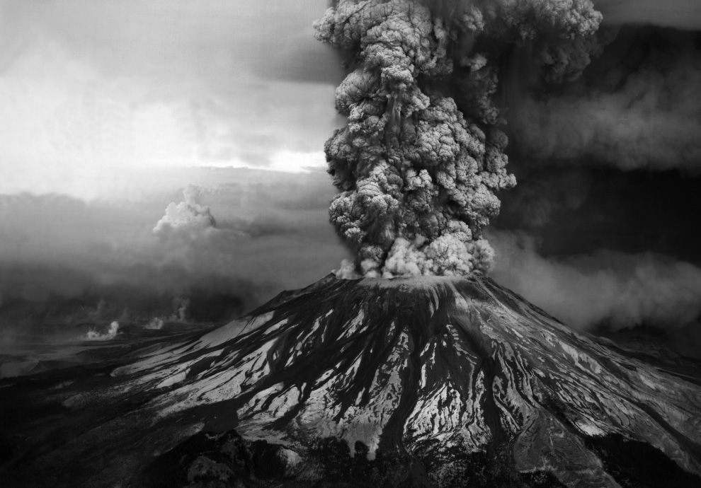
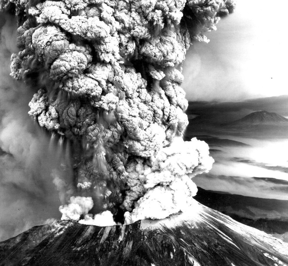
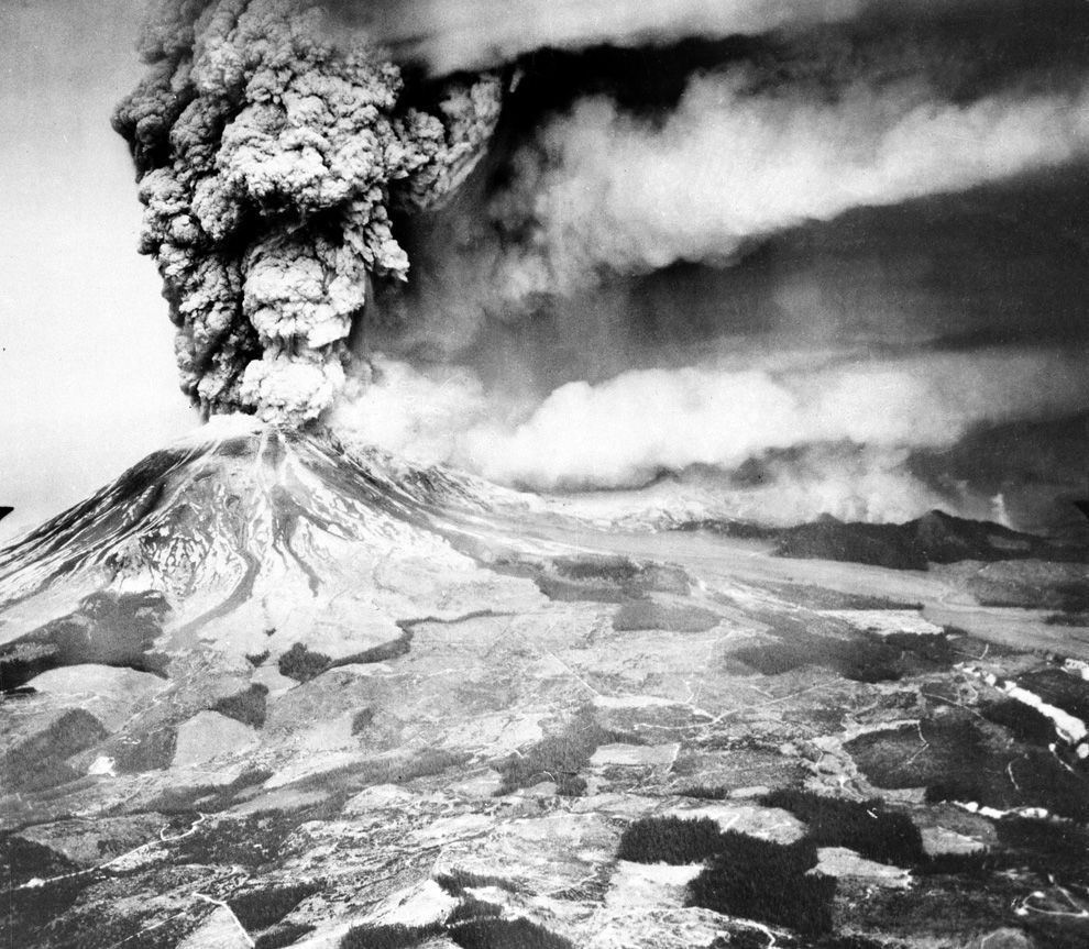
An earthquake at 8:32:17 a.m. on Sunday, May 18, 1980, caused the entire weakened north face to slide away, suddenly exposing the partly molten, gas- and steam-rich rock in the volcano to lower pressure. The rock responded by exploding a hot mix of lava and pulverized older rock toward Spirit Lake so fast that it overtook the avalanching north face.
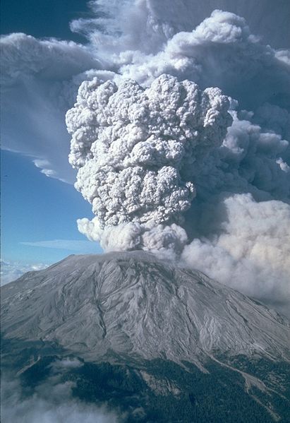
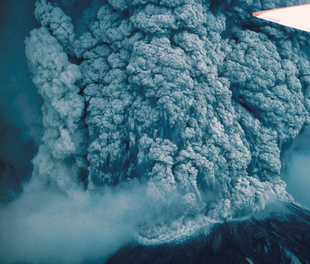
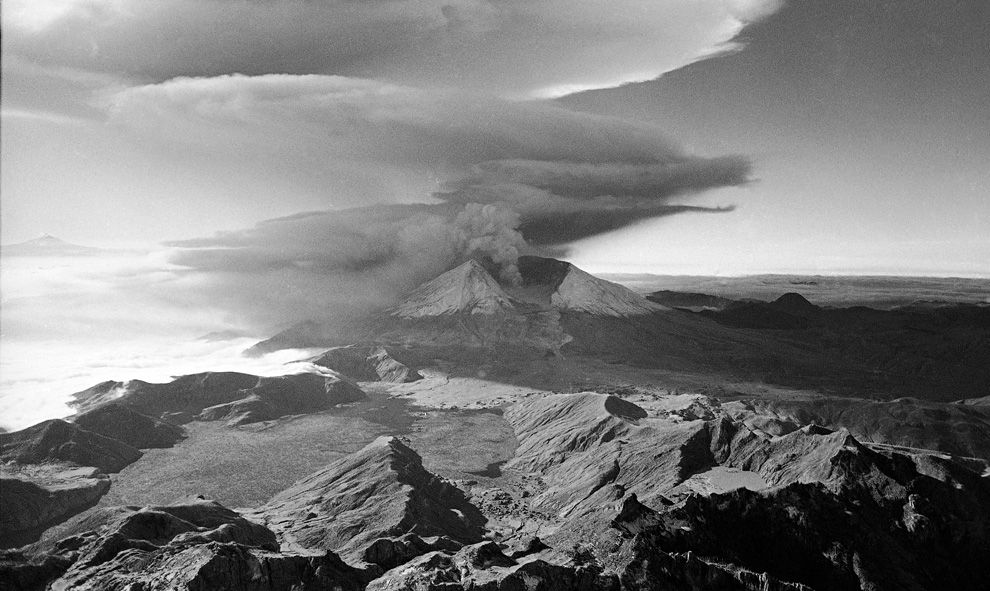
An eruption column rose 80,000 feet (24,400 m) into the atmosphere and deposited ash in 11 U.S. states. At the same time, snow, ice and several entire glaciers on the volcano melted, forming a series of large lahars (volcanic mudslides) that reached as far as the Columbia River, nearly fifty miles (eighty kilometers) to the south. Less severe outbursts continued into the next day only to be followed by other large but not as destructive eruptions later in 1980.
Fifty-seven people (including innkeeper Harry R. Truman and geologist David A. Johnston) and thousands of animals were killed. Hundreds of square miles were reduced to wasteland, causing over a billion U.S. dollars in damage ($2.74 billion in 2007 dollars), and Mount St. Helens was left with a crater on its north side. At the time of the eruption, the summit of the volcano was owned by the Burlington Northern Railroad, but afterward the land passed to the United States Forest Service. The area was later preserved, as it was, in the Mount St. Helens National Volcanic Monument.
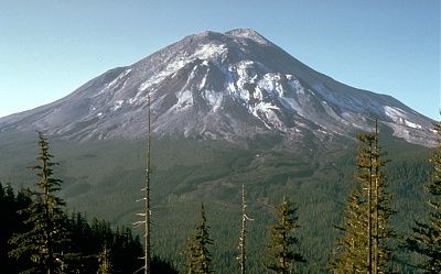
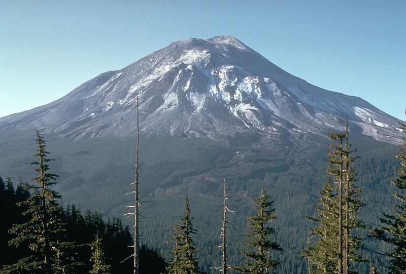
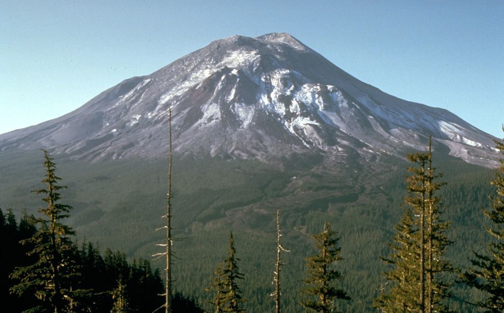
Mount St. Helens on the day before the eruption, May 17, 1980, as viewed from what came to be known as Johnston Ridge, about six miles from the volcano.
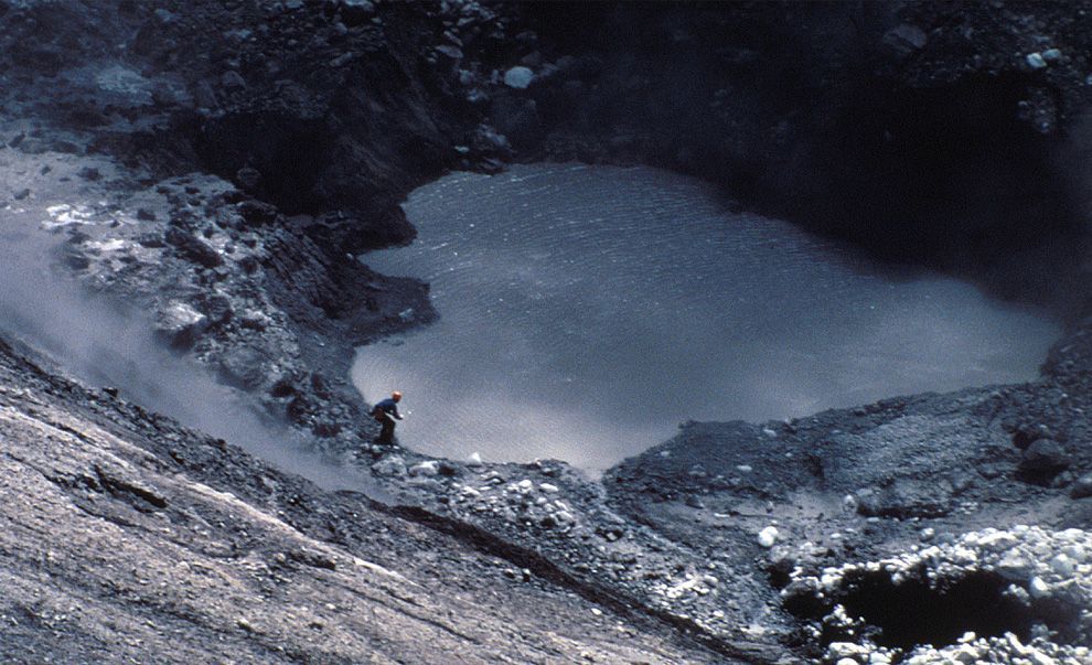
USGS vulcanologist Dave Johnston collects samples from Mount St. Helens crater lake on April 30, 1980. Two months of earthquakes and minor eruptions brought many observers and scientists to the volcano for study.
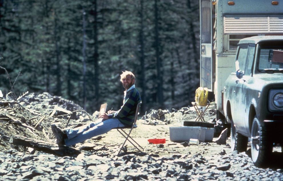
In this May 17, 1980 photo, 30-year old vulcanologist David Johnston is shown in the evening at his camp near what is now known as Johnston Ridge near Mount St. Helens. At 8:32 a.m. the next morning, Johnston radioed a message to the USGS headquarters: "Vancouver, Vancouver, this is it!", shortly before he was killed by the massive eruption of the volcano that also killed 56 others.
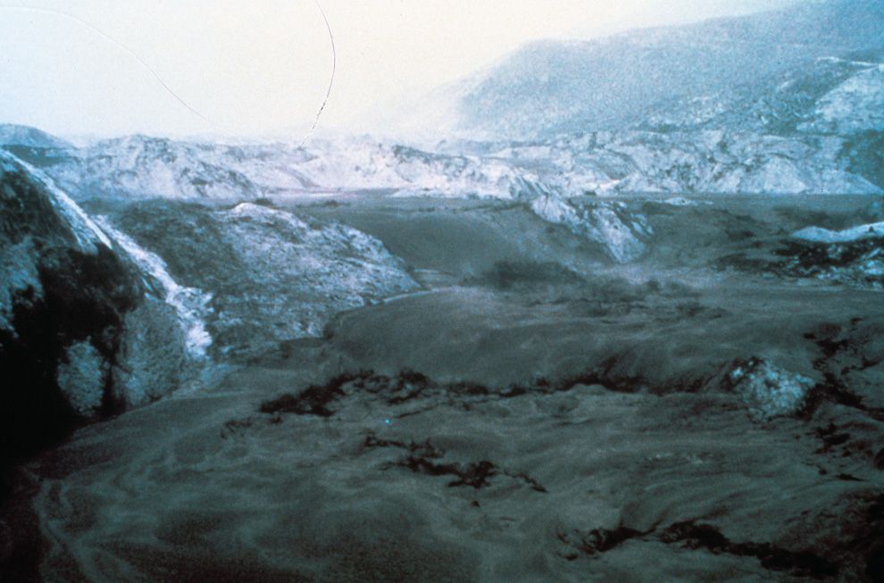
Thick hot mudflows begin to move downstream from the blast material deposited in the North Fork Toutle River valley downslope from erupting Mount St. Helens on May 18, 1980. This mudflow took nine hours to build in size sufficient to reach through the blasted material and move downstream to the Cowlitz River valley. The mudflow on the South Fork Toutle River arrived at Castle Rock, Washington, about 45 miles from the volcano, three hours after the eruption.
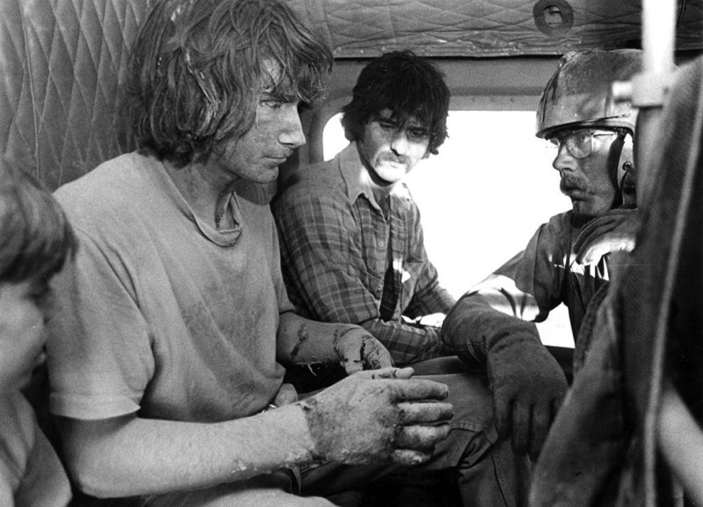
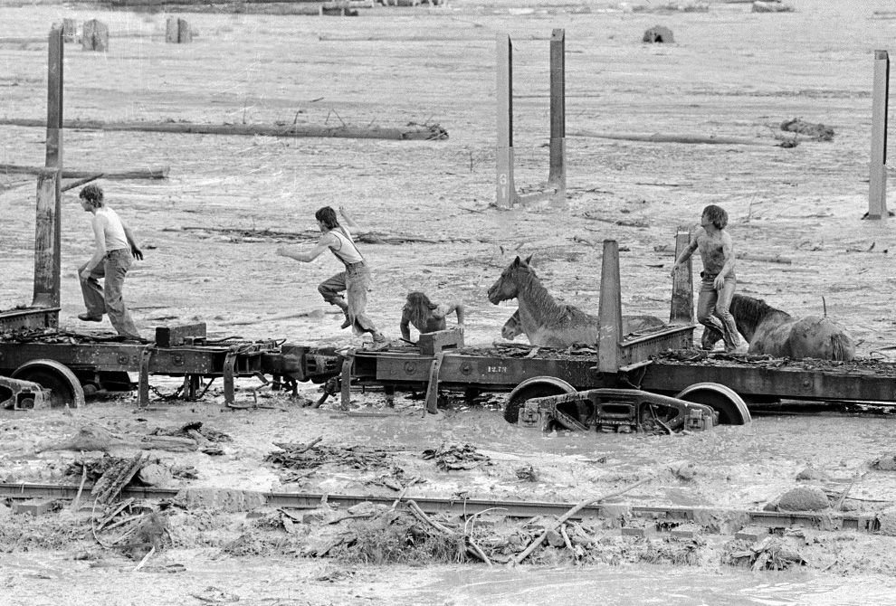
Bob Brown (right), John Brown and two other unidentified people are shown May 19, 1980 climbing onto a railroad car and heading down the train. The would-be horse rescuers gave up their efforts as they fled for their lives as flood waters from the Toutle River begin a sudden rise. All four people reached safety but the horses were presumed to have drowned.
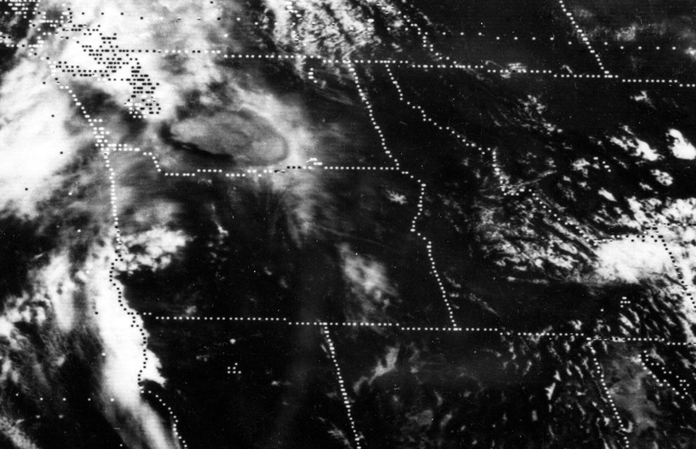
A satellite image shows the eastward spread of the ash plume across Washington state from the May 18th, 1980 eruption of Mount St. Helens, approximately one hour after the initial eruption
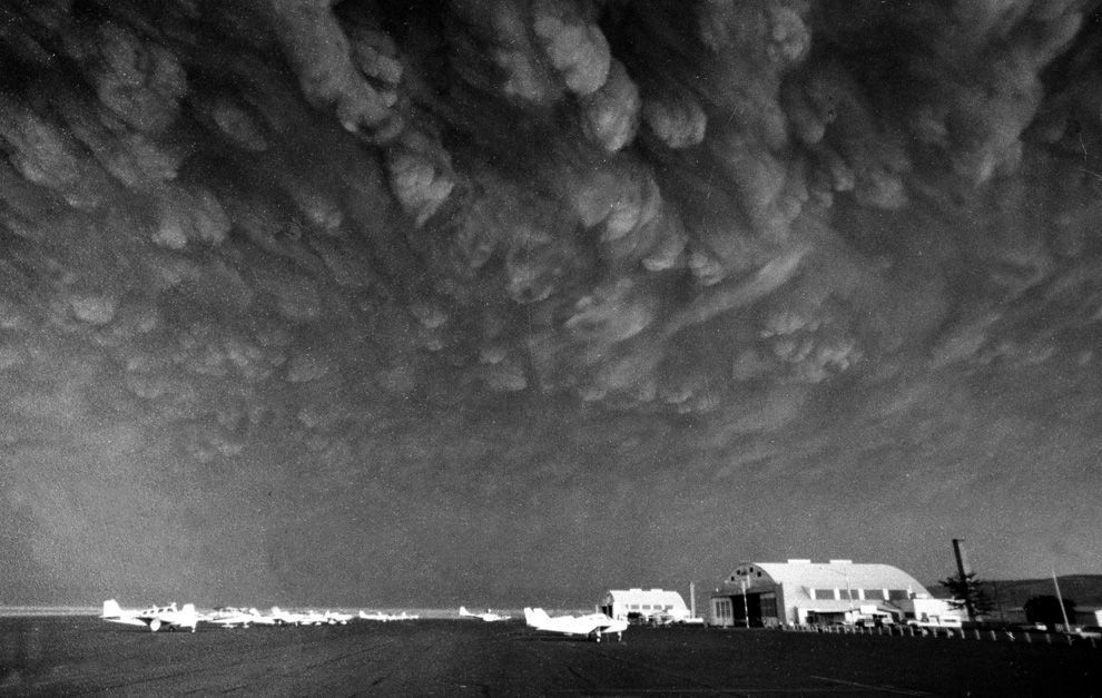
Ashen clouds from the Mount St. Helens volcano move over Ephrata airport in Washington on Monday, May 19, 1980
This aerial view shown May 23, 1980 from a search and rescue helicopter shows the new crater on Mount St. Helens formed by Sunday's massive eruption. Scientists described St. Helens' new horseshoe-shaped crater as about 5,000 feet deep and about 2 1/2 miles wide north to south on the north side of the mountain.
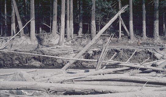
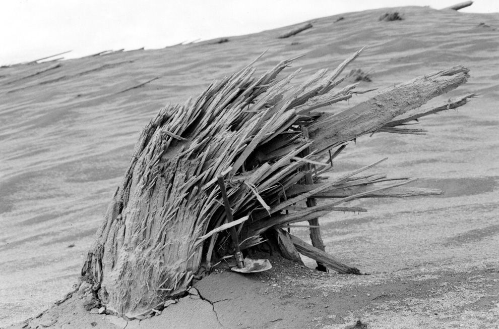
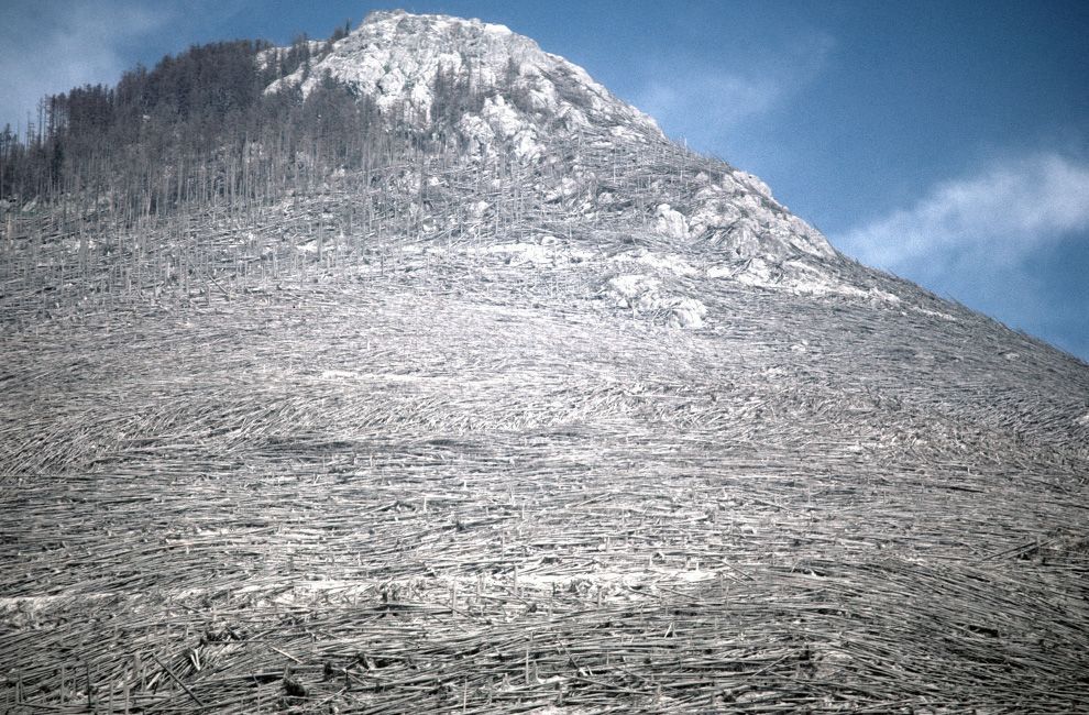
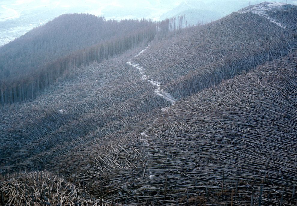
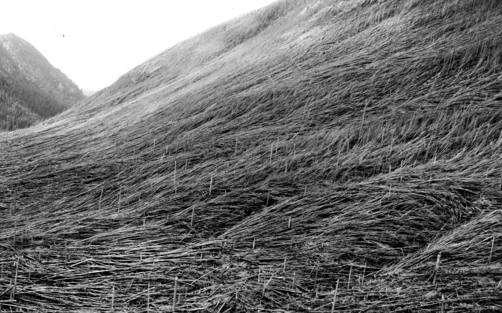
Massive blowdown of trees in the Green River valley seen on June 2, 1980. The flattening of the forest resulted from the May 18 eruption of Mount St. Helens.
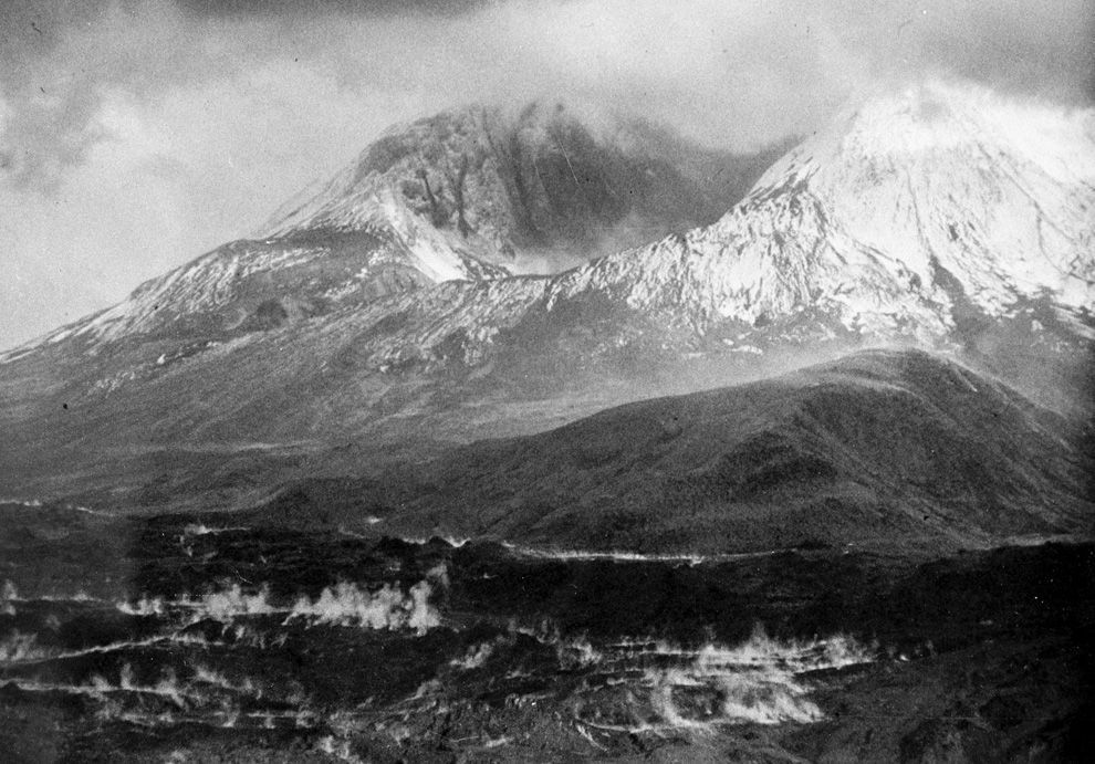
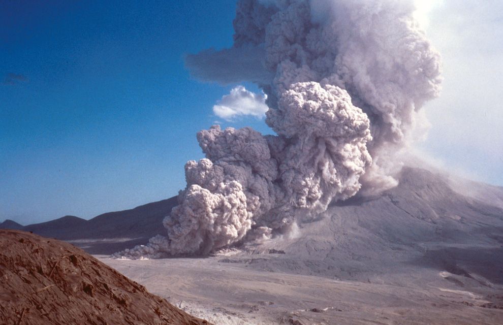
A pyroclastic flow rushes down the side of Mount St. Helens on August 7, 1980
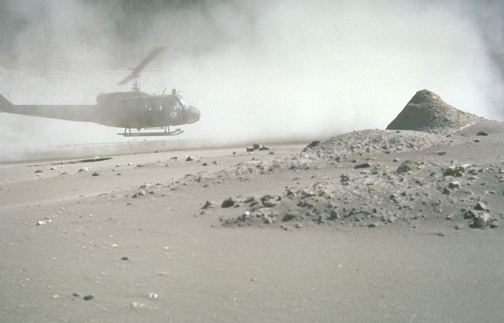
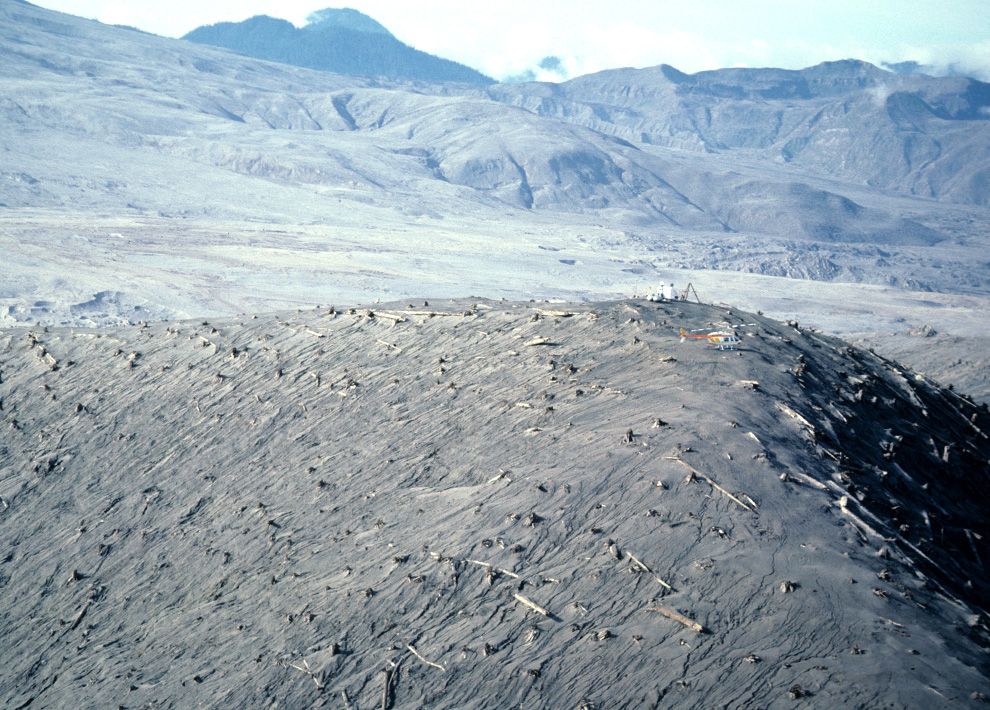
A helicopter rests near measuring instruments on Harrys Ridge on September 30, 1980, five miles north of Mount St. Helens' crater.
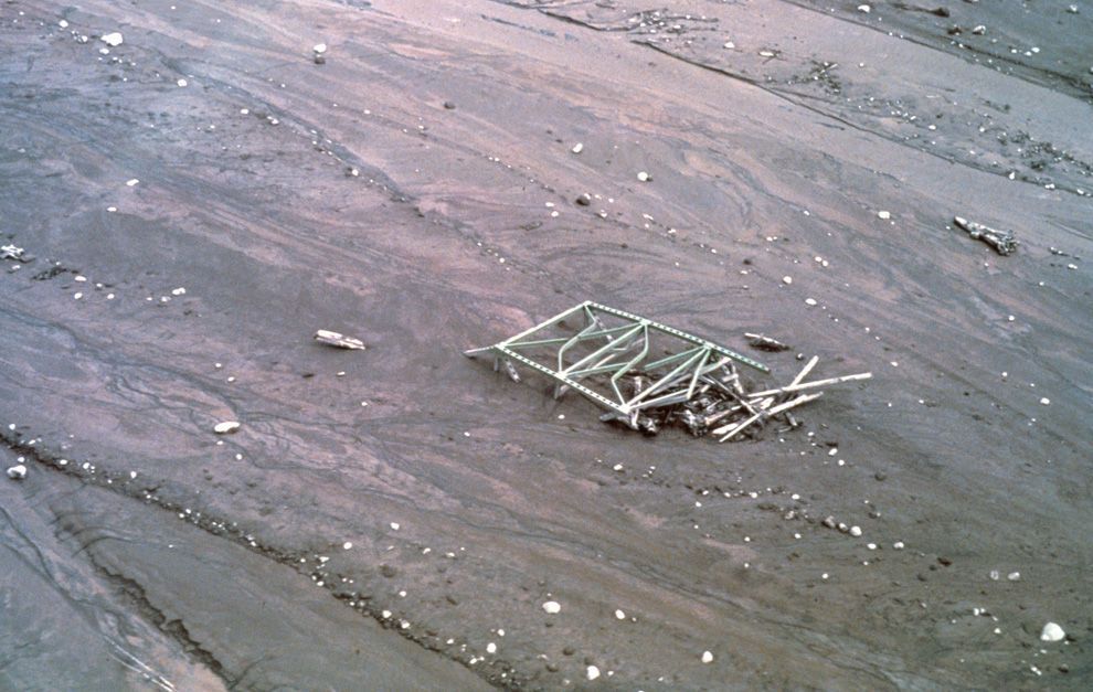
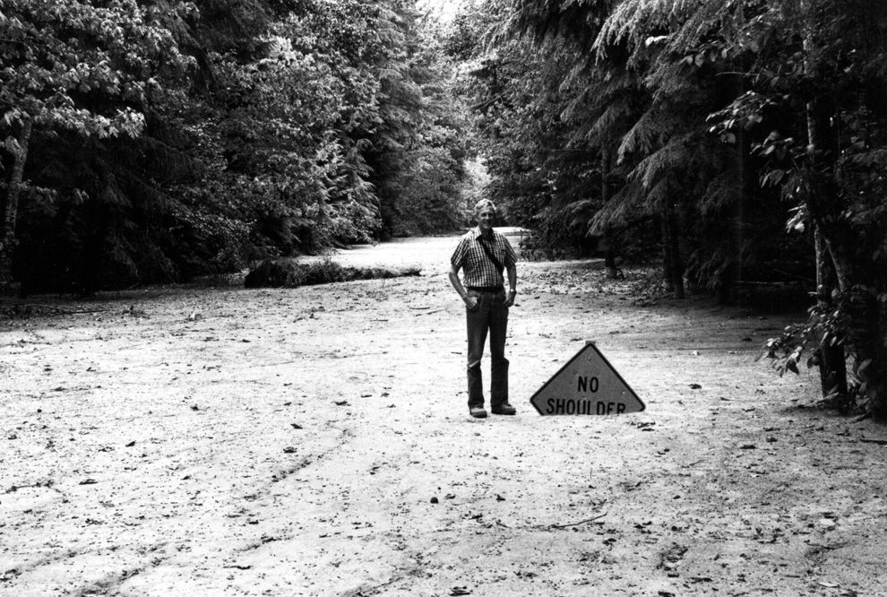
A mudflow deposit covers Washington State Highway 504 near the town of Toutle, northwest of Mount St. Helens, to a depth of 2m (6 ft). Geologist for scale.
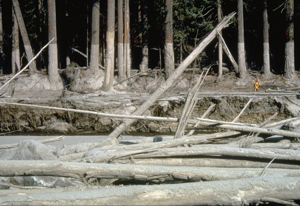
Nearly 135 miles (220 kilometers) of river channels surrounding the volcano were affected by the mudflows of May 18, 1980. A dirty line left behind on tree trunks shows the depth reached by the mud. A scientist (middle right) gives scale. This view is along the Muddy River, southeast of Mount St. Helens on October 23, 1980.
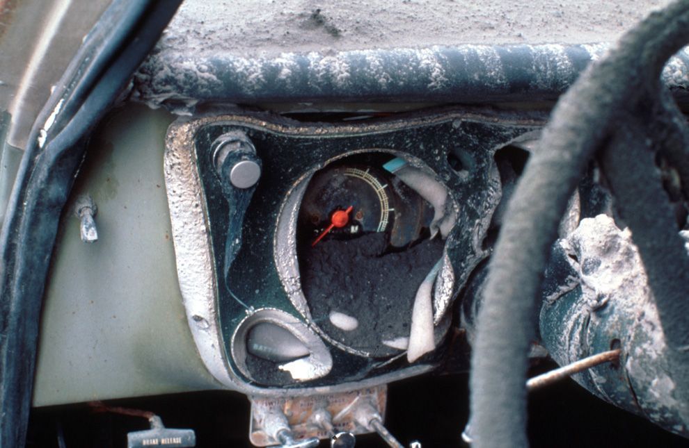
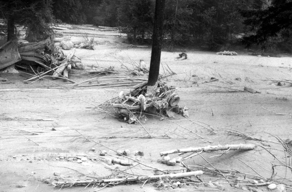
A vehicle is seen wrapped around tree due to the force of the mudflow on the North Fork Toutle River on July 11, 1980, near Camp Baker, northwest of Mount St. Helens in Washington state.
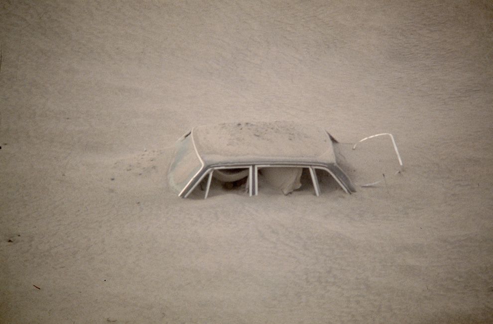
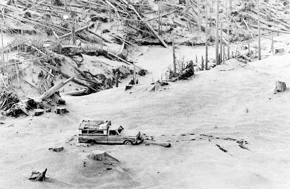
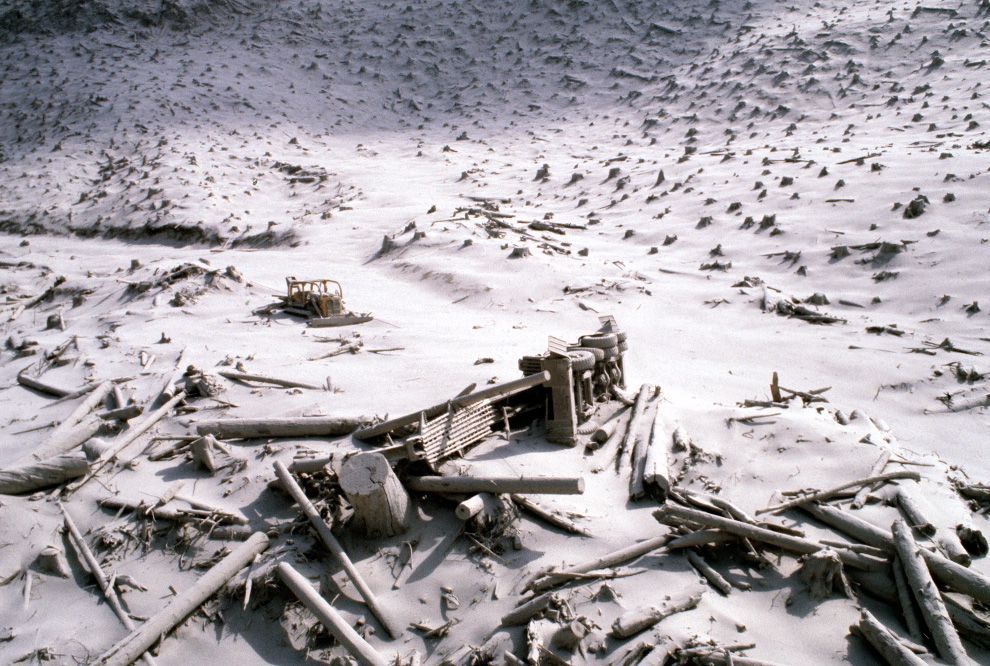
A wrecked logging truck and crawler tractor are shown amidst ash and downed trees near Mount St. Helens on May 20, 1980, two days after an explosive eruption.
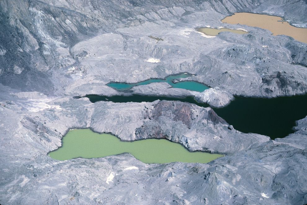
On the slopes of Mount St. Helens, colorful ponds dot the debris avalanche, their chemical composition varying wildly and affecting the color of the water. Photo taken on August 8, 1981.
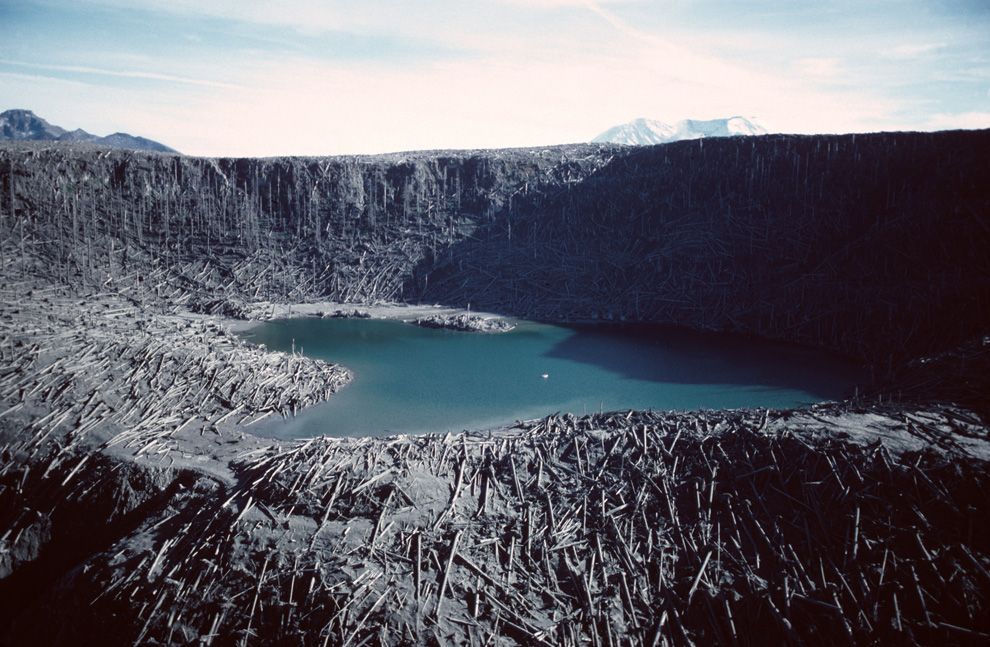
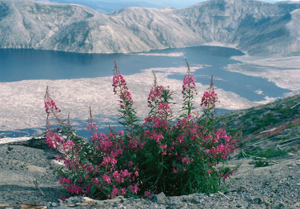
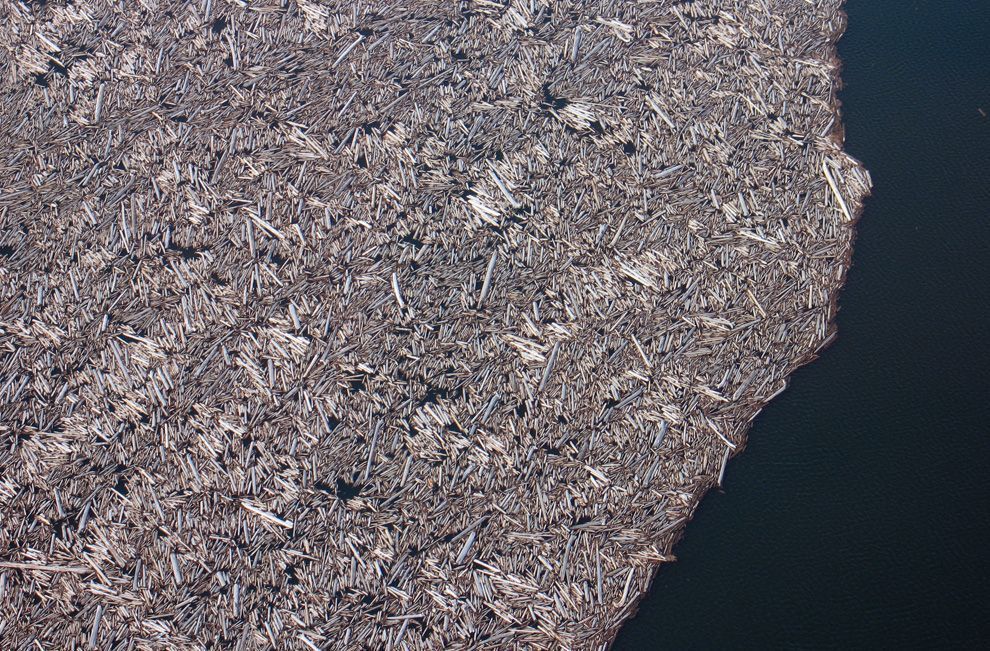
When Mount St. Helens erupted, the preceding gigantic landslide actually displaced all of the water in nearby Spirit Lake, which washed up hillsides, then splashed back down, dragging debris and fallen trees into its new lakebed. This March 29, 2007 photograph shows just a portion of the thousands of trees that remain floating in a giant raft on the surface of the lake to this day.
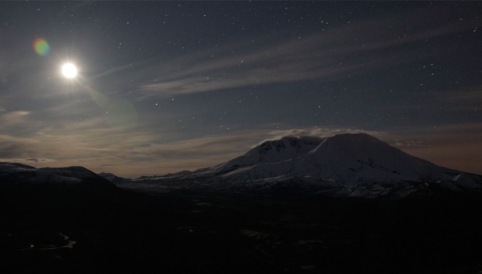
In this May 7, 2010 photo, a timed exposure brings out Mount St. Helens against a backdrop of stars and the risen moon at left, in Washington state.
Reid Turner Blackburn (August 11, 1952 – May 18, 1980) was a photographer killed in the 1980 volcanic eruption of Mount St. Helens.Blackburn was a photojournalist covering the eruption for a local newspaper—the Vancouver, Washington Columbian—as well as National Geographic magazine when he was caught at Coldwater Camp in the blast. The National Press Photographers Association awards a competitive scholarship annually in Blackburn's honor.