| |
My Rank: MAJOR Poster Rank:12 Join Date: Jun 2009 Posts: 93,062
Contributions: 239
Mentioned: 91 Post(s) Quoted: 2009 Post(s) |
|
The Chilean Town Engulfed by a Volcanic Mudflow
A slurry of mud and rocky debris rushing down a mountain and engulfing everything in its path has to figure as one of nature’s most terrifying natural disaster types. Such phenomena, known as lahars, are frequently triggered by the lava or pyroclastic flows of erupting volcanoes. They often take the path of river valleys, bulldozing all before them.
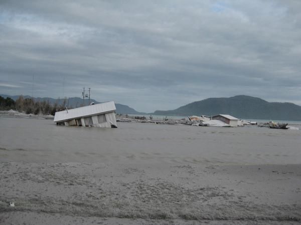
In May of 2008, one such lahar swept through the Chilean town of Chaitén – population 4,200 – destroying much of it, and causing the banks of the Blanco River to overflow, flooding what was left.
Lahars have the consistency and density of wet concrete. According to the United States Geological Survey: “Large lahars hundreds of meters wide and tens of meters deep can flow several tens of meters per second – much too fast for people to outrun.” Moreover, not content to simply devour everything in their path, when they stop they become solid – again, much like concrete.
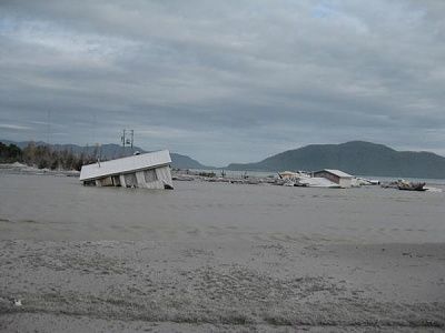
Chaitén itself is both the name of the town and the name of a caldera west of the ice-capped Michinmahuida volcano. Before its recent destructive eruption, the 1,122 meter (3,681ft)-high caldera was filled with gray obsidian from an eruption many thousands of years earlier. Interestingly, that obsidian was used to make pre-Columbian artifacts found hundreds of kilometers away – yet 2008 showed that the volcano as provider can quickly turn destroyer.
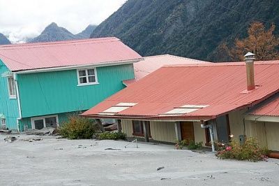
Prior to May 2, 2008, the caldera had lain quiescent since around 7420 BC. However, pressure evidently built up over the millennia, until the volcano’s need to erupt could no longer be denied – and more fool anything that stood in its way.
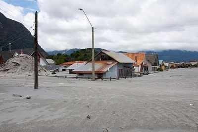
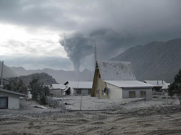
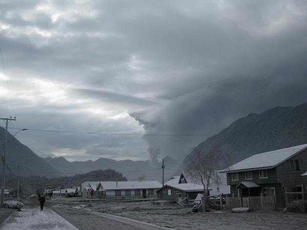
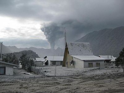
On May 6, just days after the first bursts of volcanic activity, a pyroclastic flow issued from the caldera. Meanwhile, a 30,000-meter (98,000-ft) eruption column of hot volcanic ash reared up into the sky. Most of the town of Chaitén was evacuated.
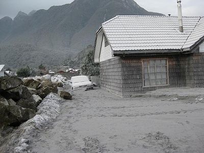
Pyroclastic flows swept down the mountainside, burning up forests in their path and threatening the town, just 10 kilometers (6 mi) distant from the volcano. Later, in February 2009, pyroclastic flows would reach as far as 5 km (3 mi) from Chaitén – but the lahars would not prove so unrelenting.
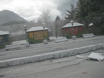
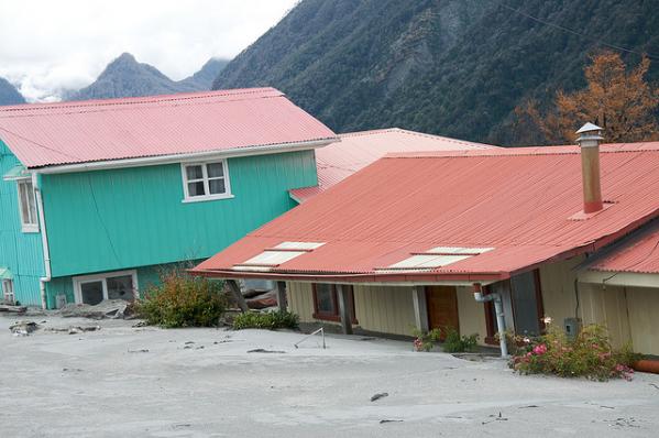
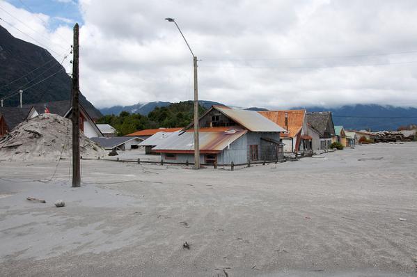
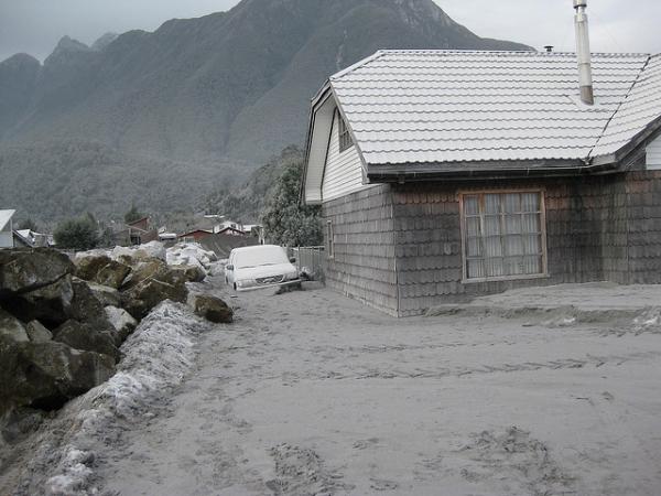
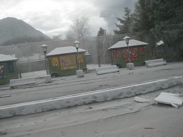
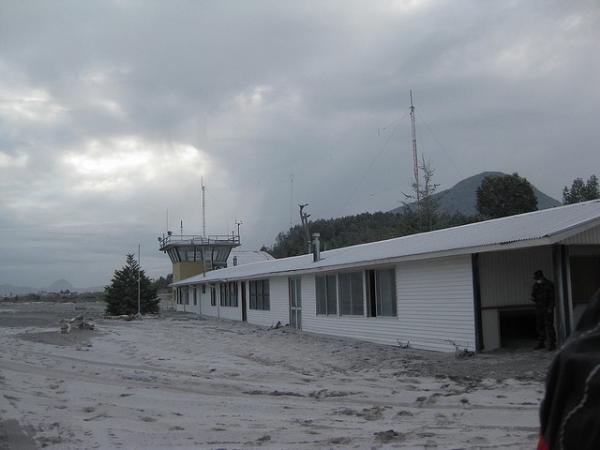
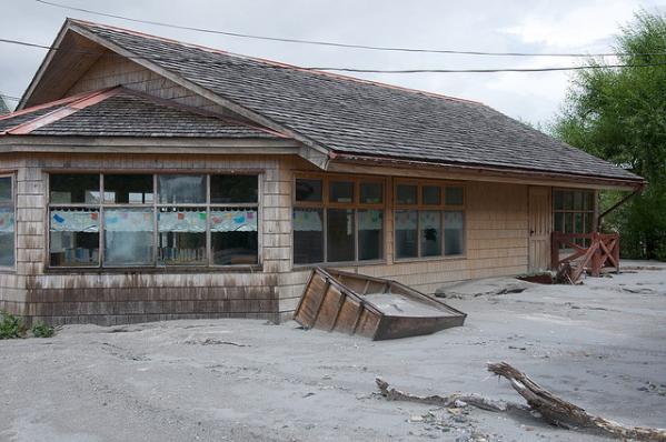
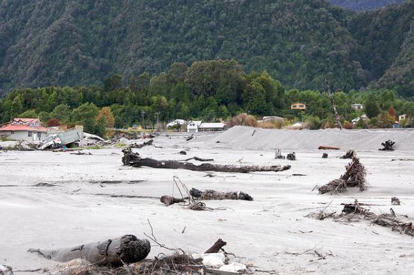
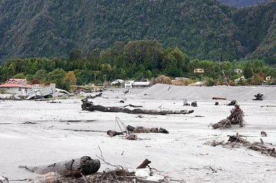
By 12 May 2008, the lahars triggered by the eruption had begun to swamp the town, causing it to be completely flooded (after the river’s banks burst) and depositing ash mud to a depth of a meter or more – swallowing up buildings and cars.
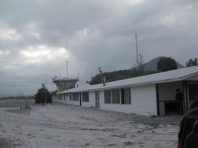
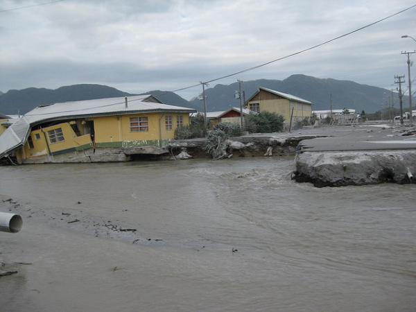
The Chaitén River formerly ran past the town, but the lahar completely filled its original course. Because of the volcanic mudflows, over the ensuing weeks the river cut a new path through Chaitén itself, and by July 2008 it had destroyed a large part of the settlement.
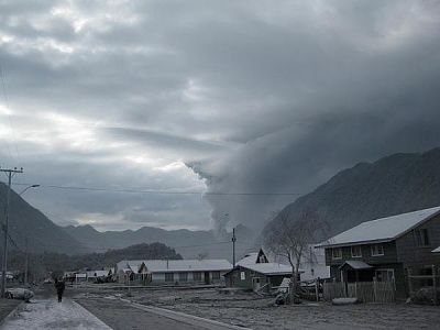
The Chilean government had planned to reconstruct the town 10 km north of where it stood – and construction work was even started – but the proposal soon became a political hot potato. Many wanted it rebuilt where it stands and were willing to risk the wrath of another devastating lahar.
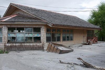
About two-dozen people adamantly refused to leave in a bid to keep what was left of their town. April 2009 saw a reversal of the earlier plans, with the announcement of a program to reconstruct the town in its present location.
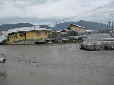
Utterly frightening, yet also strangely beautiful in its own way, the impact of the destruction meted out by the Chaitén eruption will be felt for years to come. All but buried by a sea of volcanic ash and mud, the town of Chaitén as it was is no more. Whether the people who want to stand up to the volcano gods and rebuild get their way remains to be seen.
 http://en.wikipedia.org/wiki/Chait%C3%A9n_%28volcano%29 http://en.wikipedia.org/wiki/Chait%C3%A9n http://bigthink.com/ideas/23341 http://volcanoes.usgs.gov/hazards/lahar/index.php ... |
▲ This User Says Thank You For This Post:
ebneter