|
#1
●
05-09-2011, 08:19 PM
| ||||||||
| Super ********* Poster Rank:89 Join Date: Nov 2008 Posts: 17,426 Mentioned: 5 Post(s) Quoted: 99 Post(s)
| ||||||||
|
2010–2011 Queensland Floods. Australia.
for more threads like this one : http://www.documentingreality.com/fo...me-line-45276/ 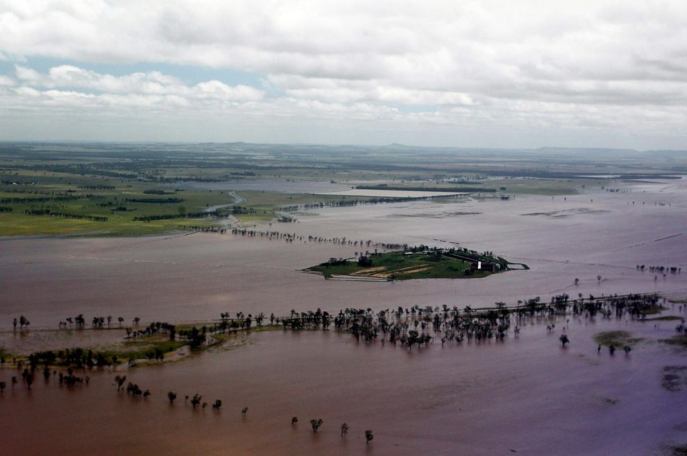 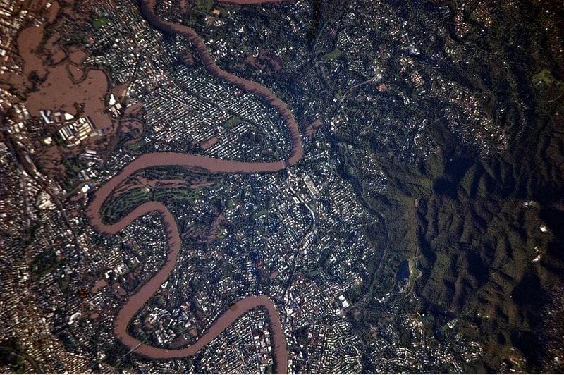 This is a detailed astronaut photograph illustrates flooding in metropolitan suburbs of the Brisbane, Queensland, Australia. Please note that the top of the photo is oriented approximately to the South-West and not to the North. The image, taken by astronauts on board the International Space Station, highlights several suburbs along the Brisbane River in the southern part of the Brisbane metropolitan area. The light-coloured rooftops of residences and other structures contrast sharply with green vegetation and brown, sediment laden flood-waters. Most visible low-lying areas are inundated by flood-water, perhaps the most striking being Rocklea at image upper left. The suburb of Yeronga (image lower left) also has evident regions of flooding, as does a park and golf course located along a bend in the Brisbane River to the south of St. Lucia (image center). Flooding becomes less apparent near the higher elevations of Mt. Coot-Tha at image right. for the full version of this image : http://upload.wikimedia.org/wikipedi...ne_Suburbs.JPG 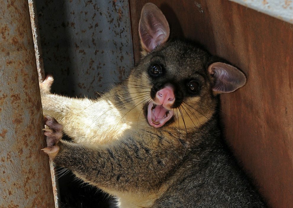 A half-drowned brush-tail possum seeks shelter in an up-turned caravan on the banks of the swollen Burnett River in Bundaberg as flood waters begin to recede on January 1, 2011. 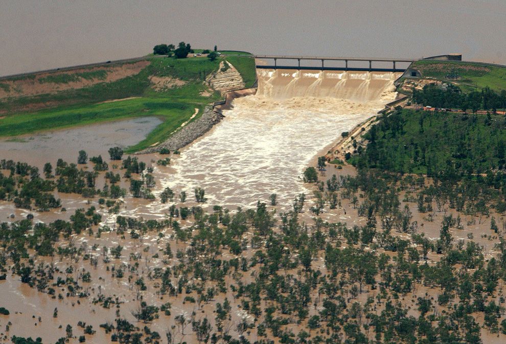 This aerial photo taken on December 31, 2010 shows the Fairbairn Dam spilling into the Queensland town of Emerald, illustrating the extent of flooding across the area. 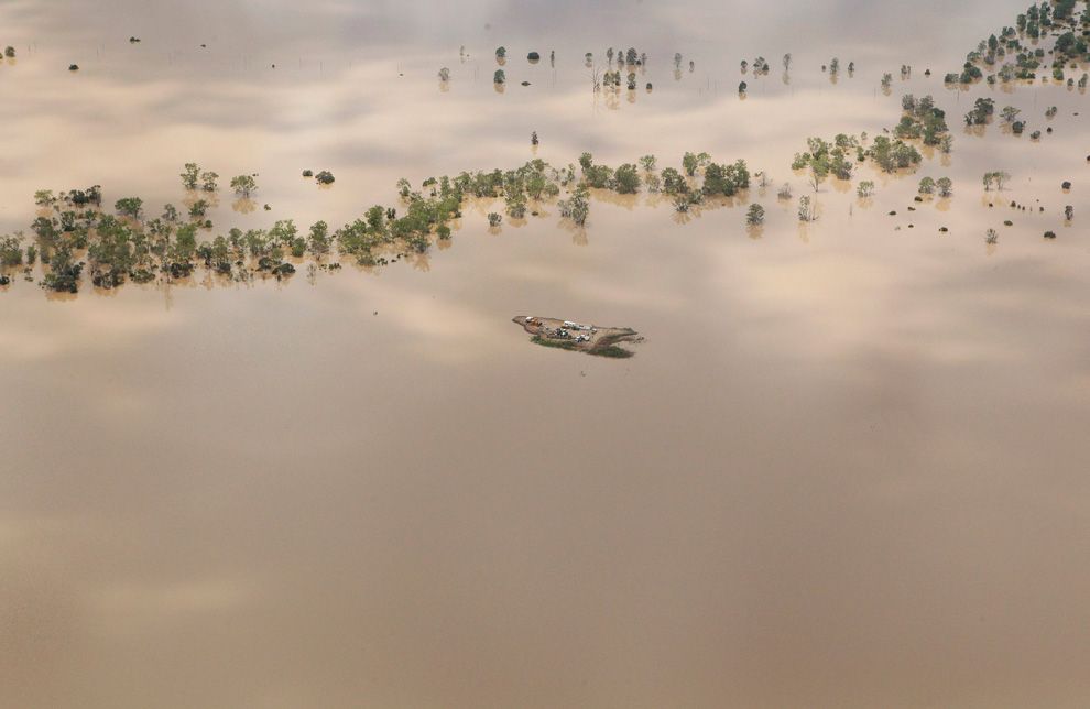 Agricultural machinery is seen on an isolated island surrounded by flood waters near the town of Emerald in Australia's state of Queensland January 2, 2011. 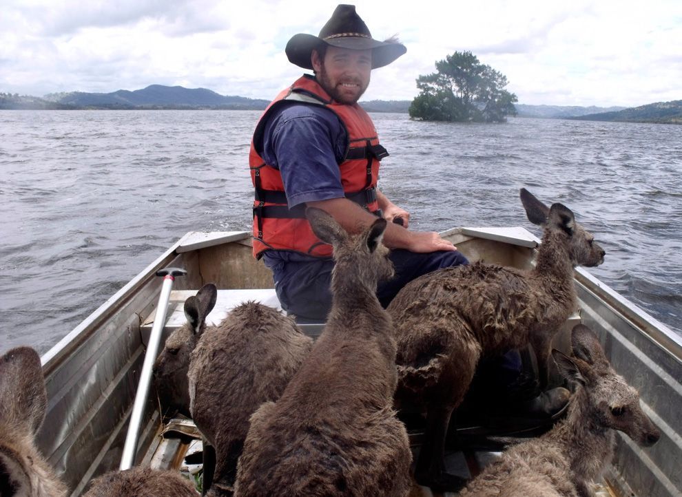 Rodney Dowton ferries a boatload of kangaroos through floodwaters near Wellington, Australia. Sources : wiki, google image search & boston.com  · 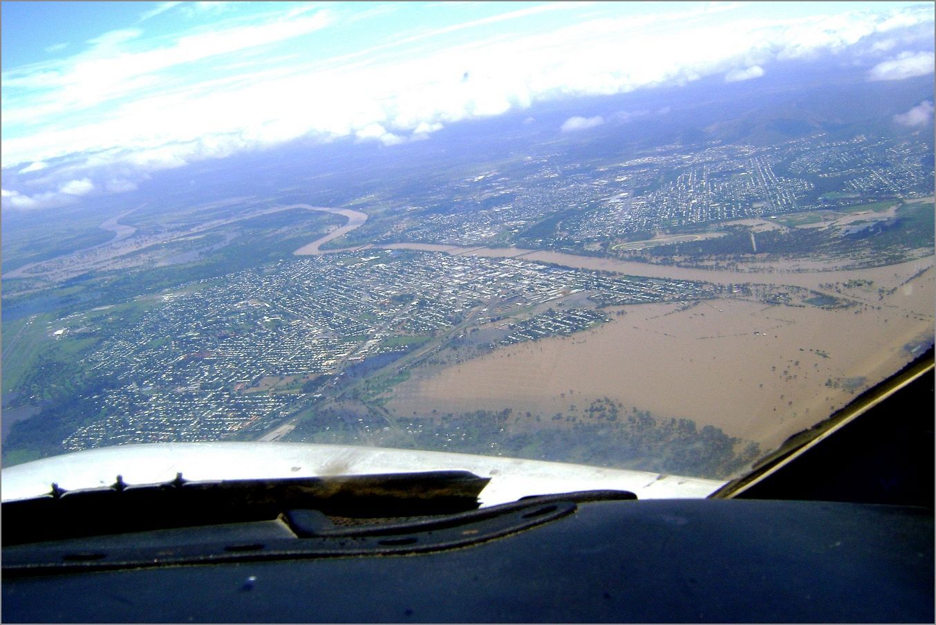 · 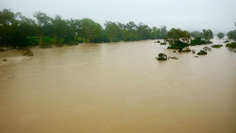 · 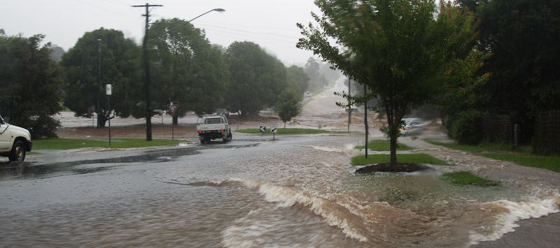 · 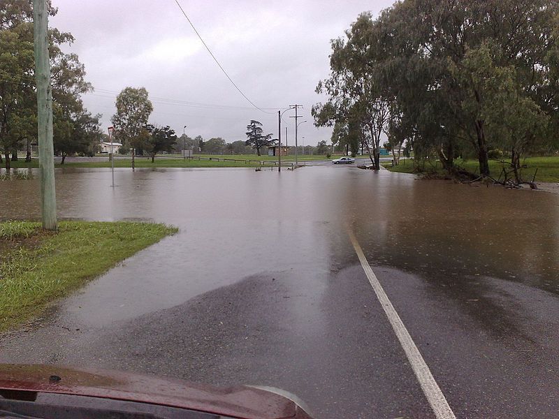 · 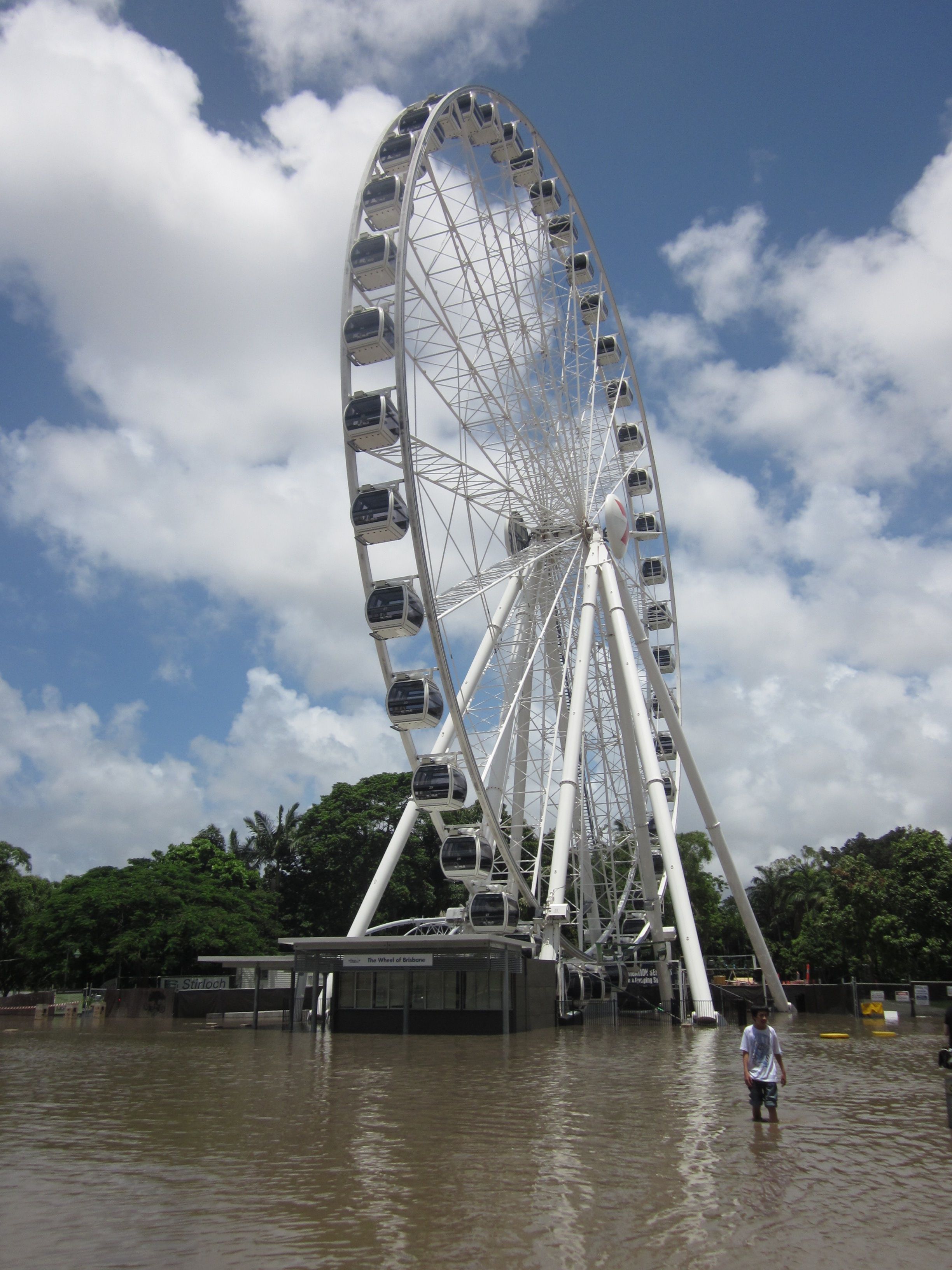 · 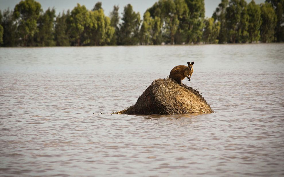 · 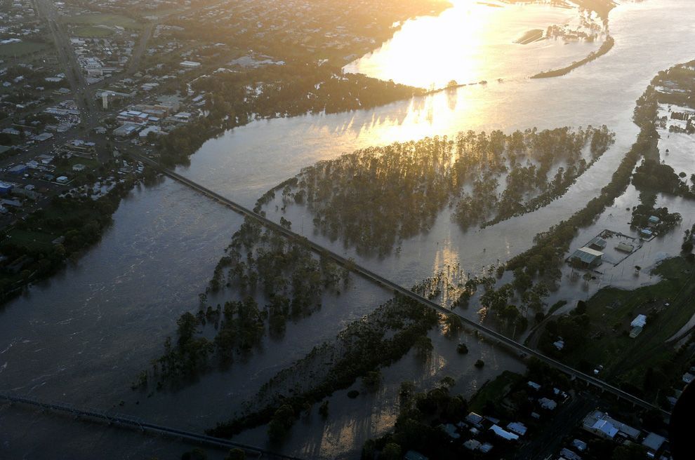 · 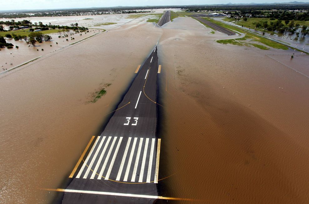 · 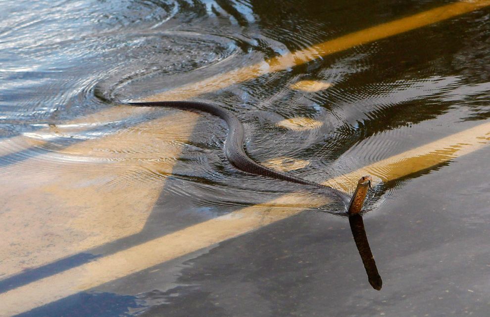 · 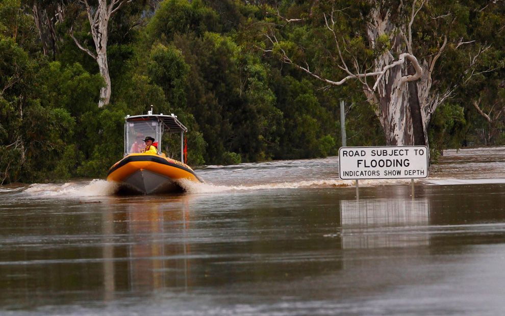 · 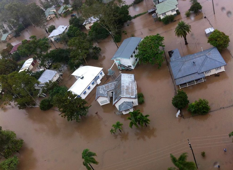 · 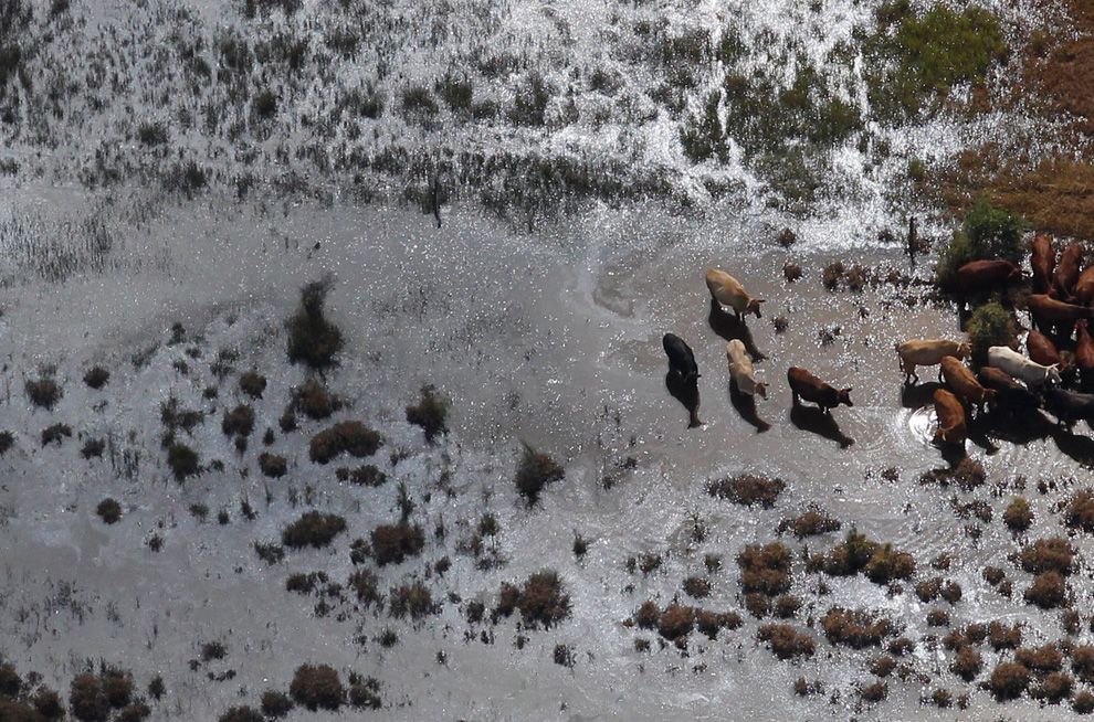 · 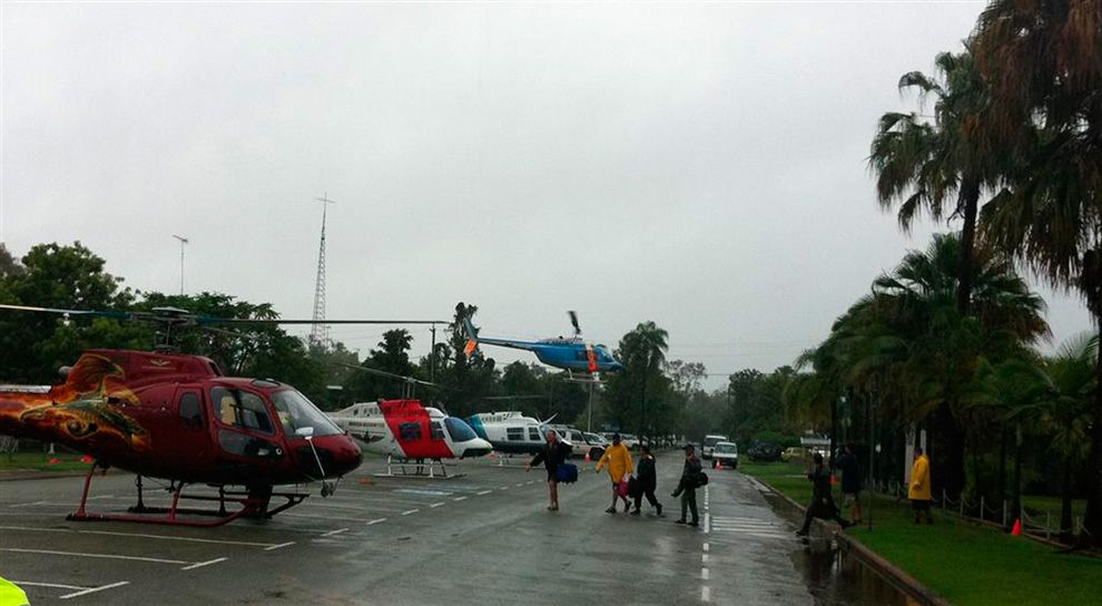 · 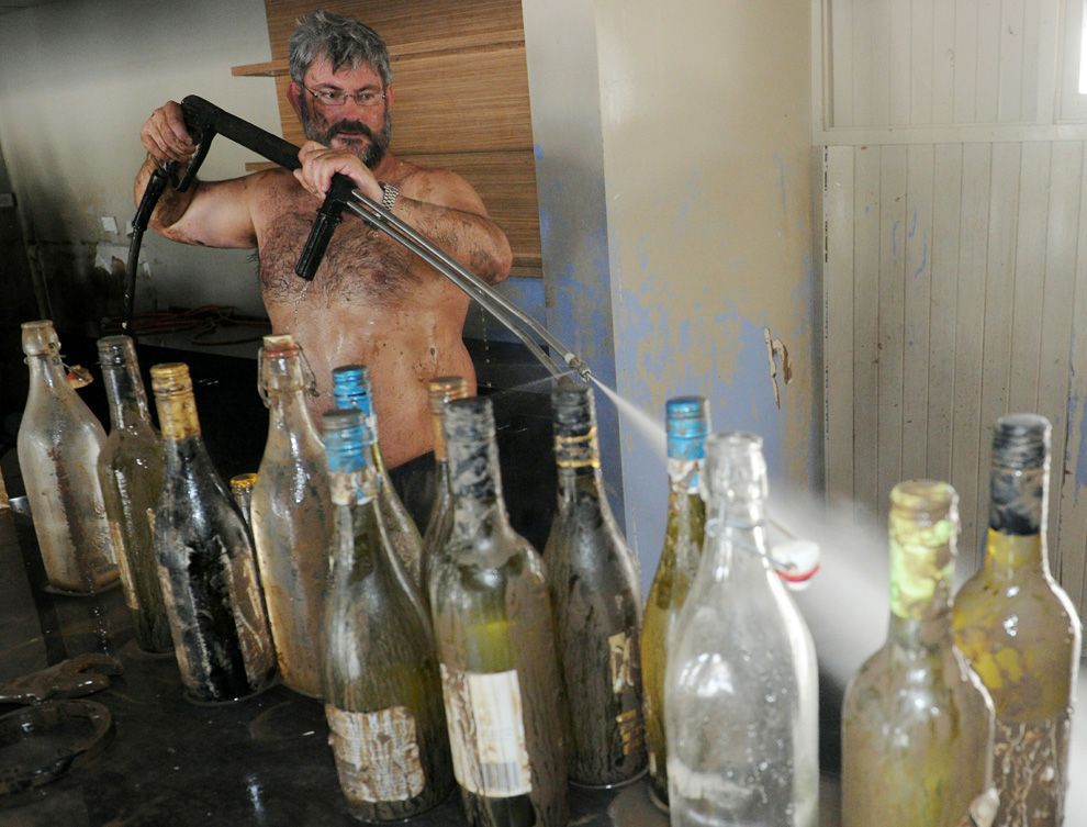 · 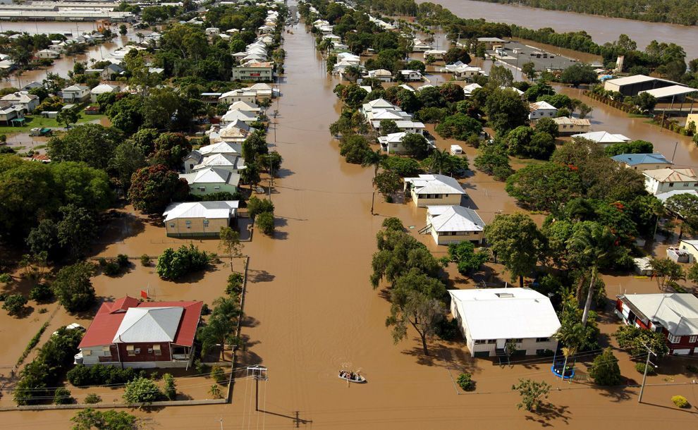 · 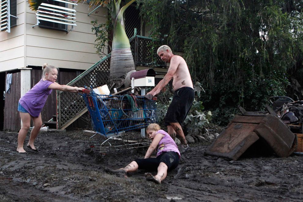 · 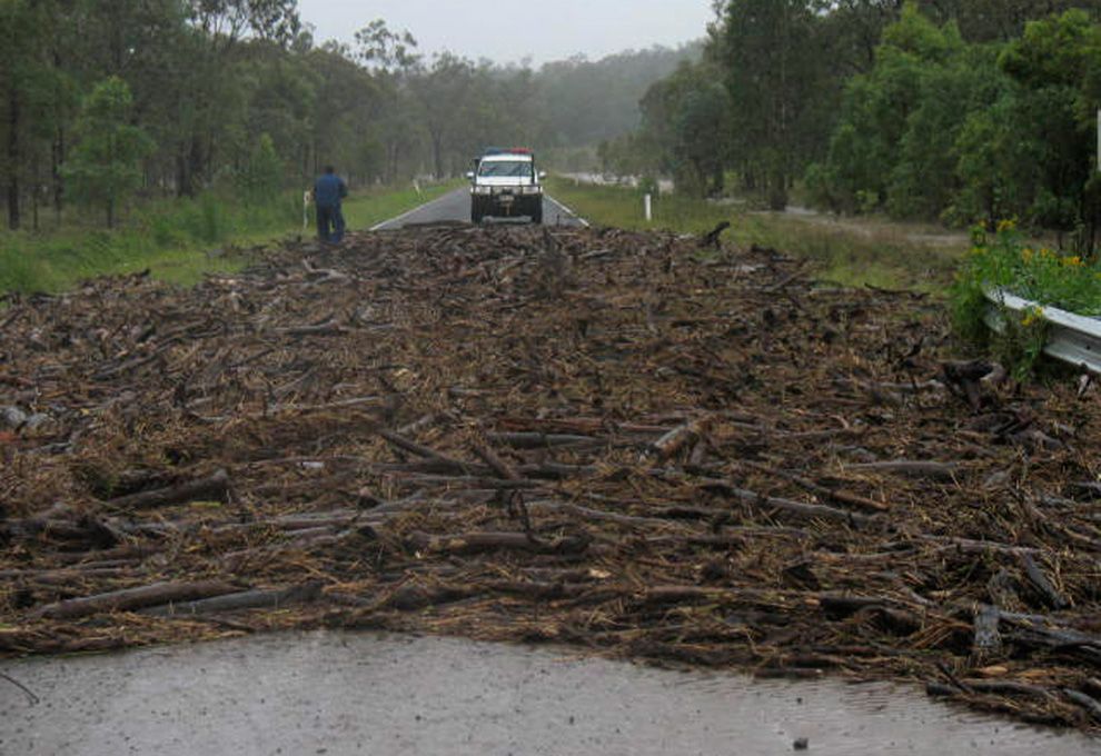 · 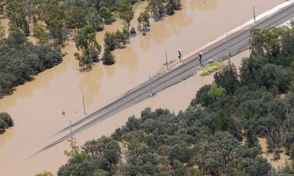 · 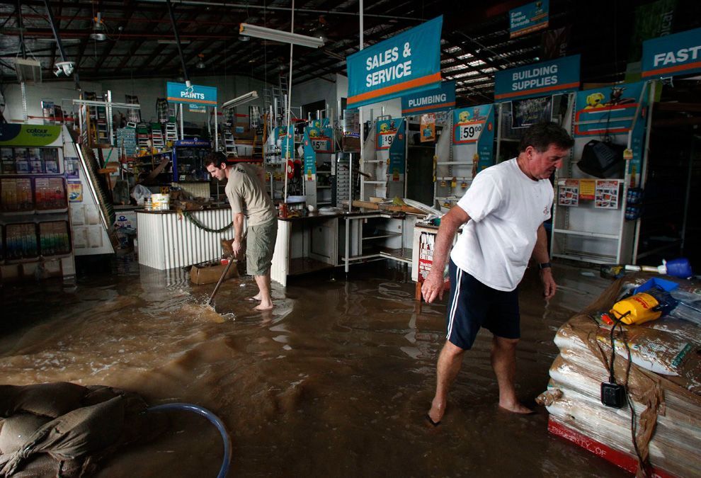 ·  · 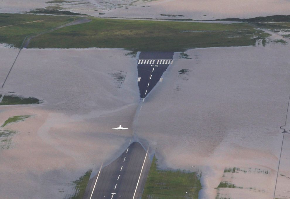 · 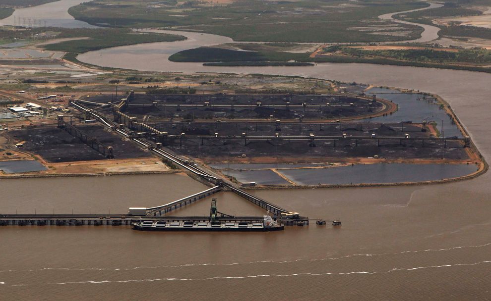 · 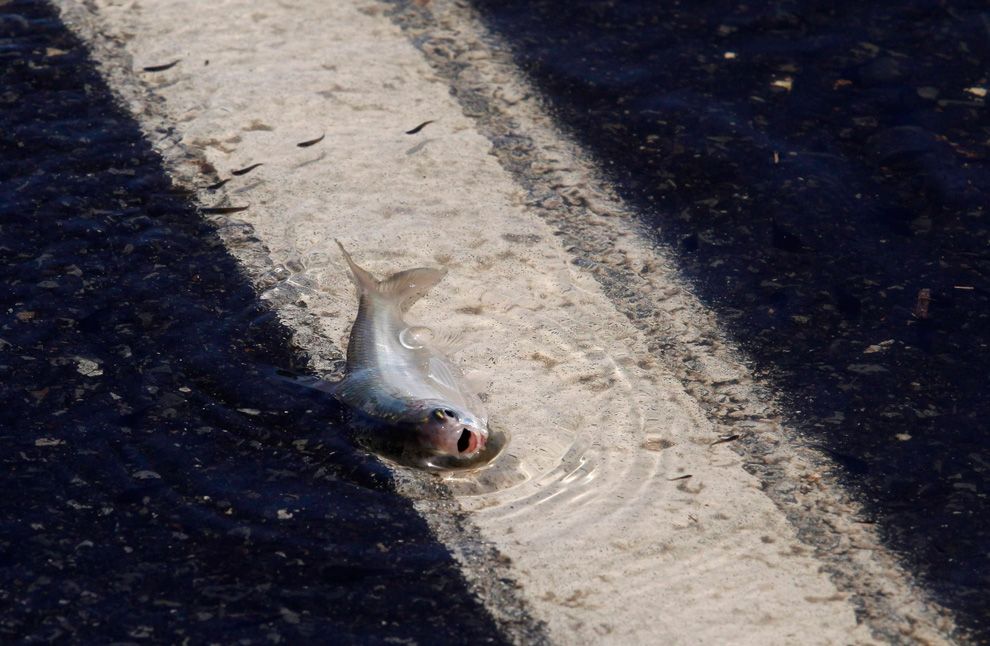 ·  · 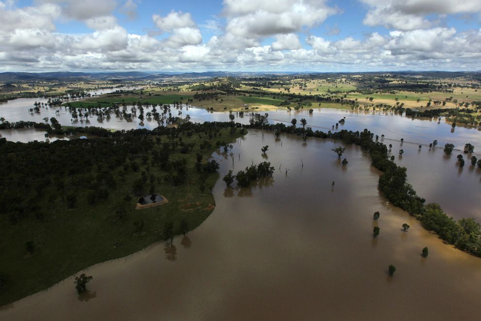 · 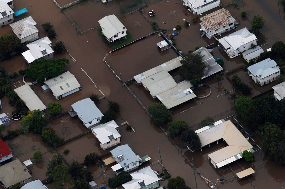 · 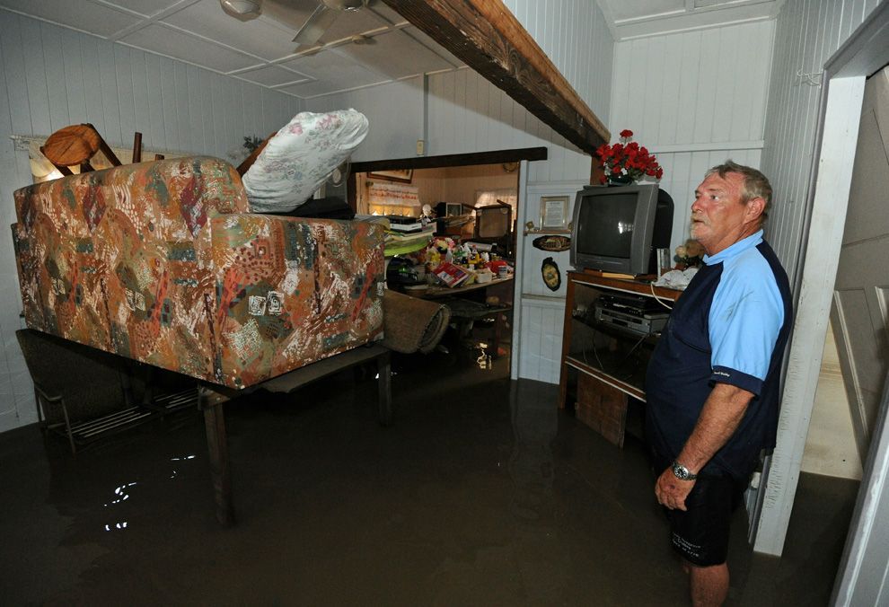 · 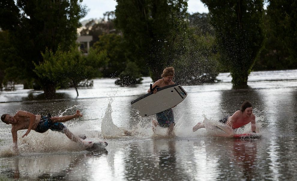 · 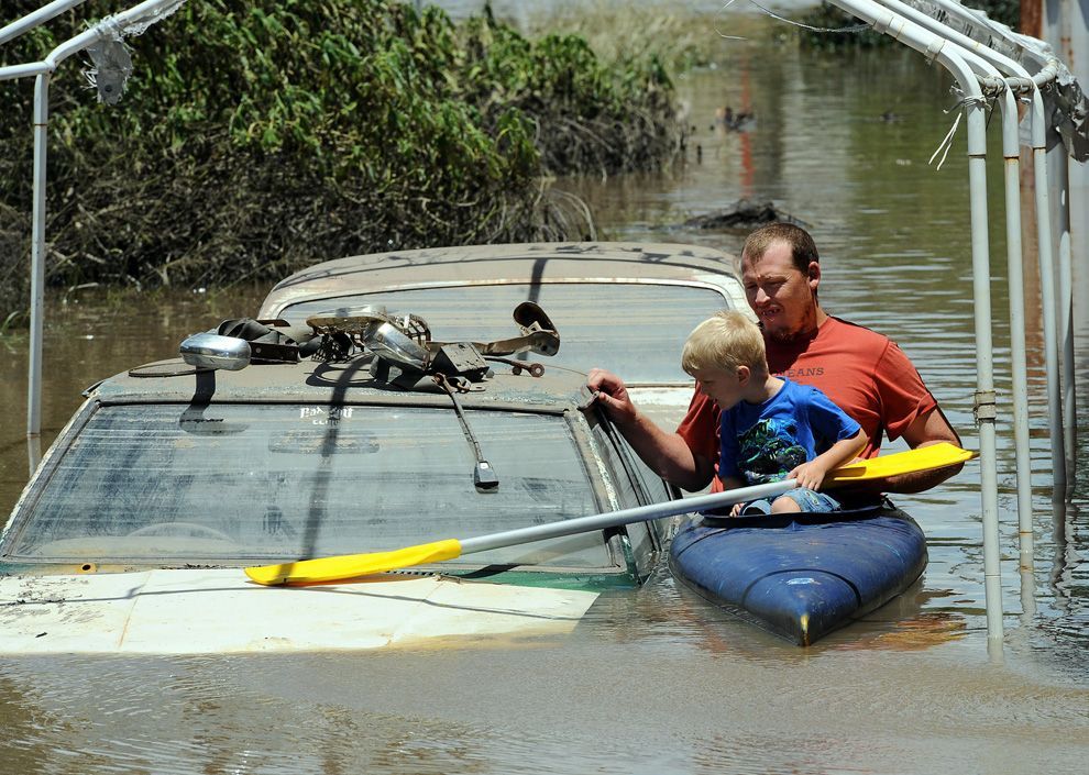 · 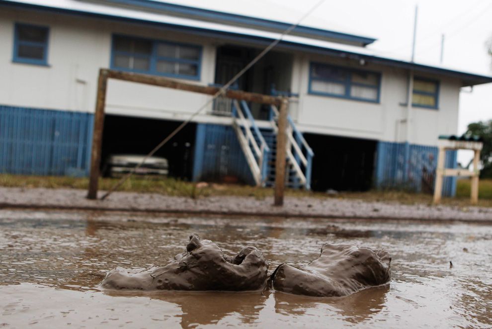 ·  · 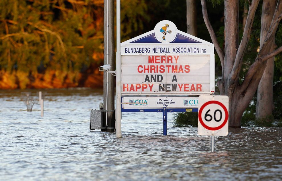 · 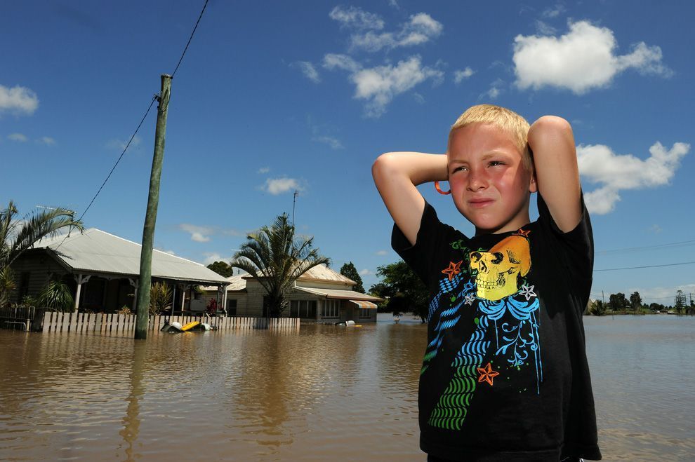 · 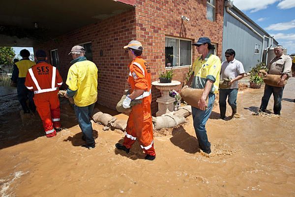 · 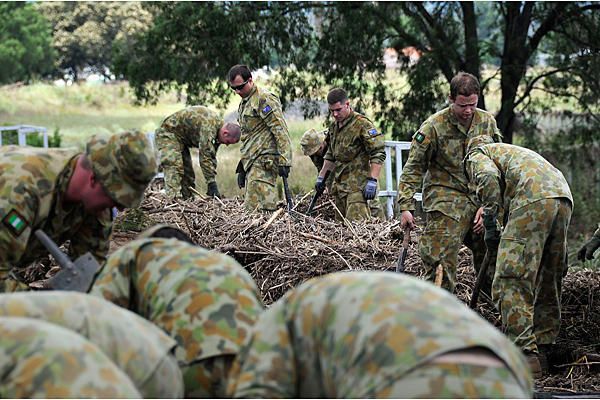 · 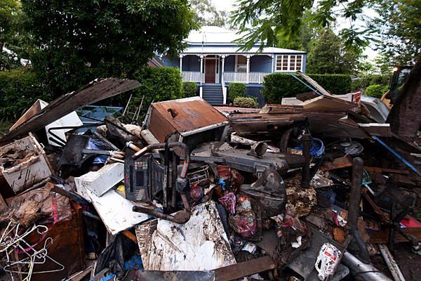 · 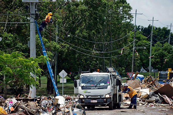 · 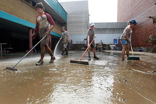 ·  · 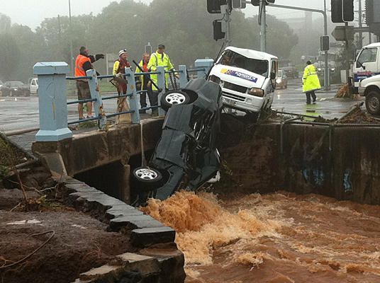 · 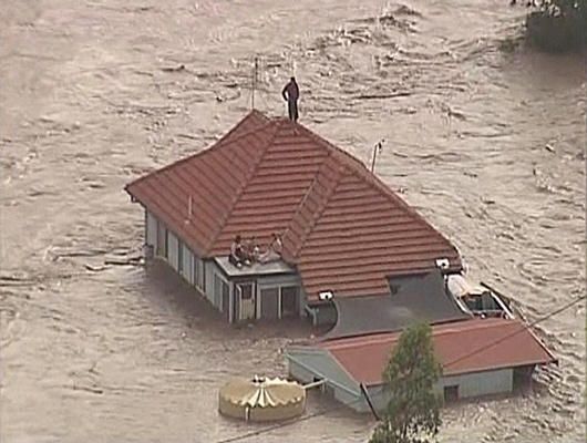 · 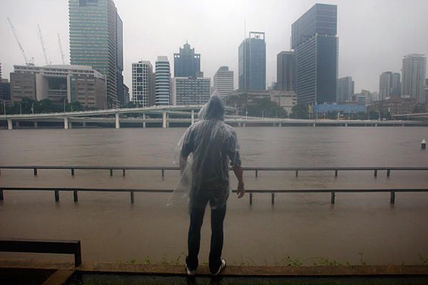 · 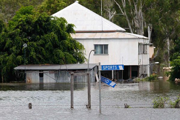 · 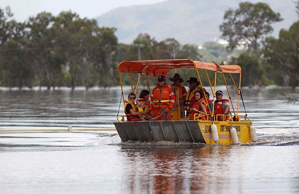 · 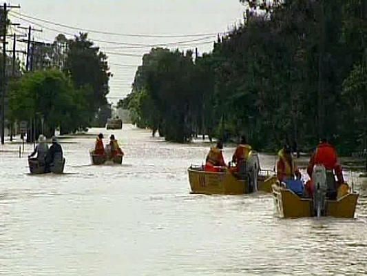 ·  · 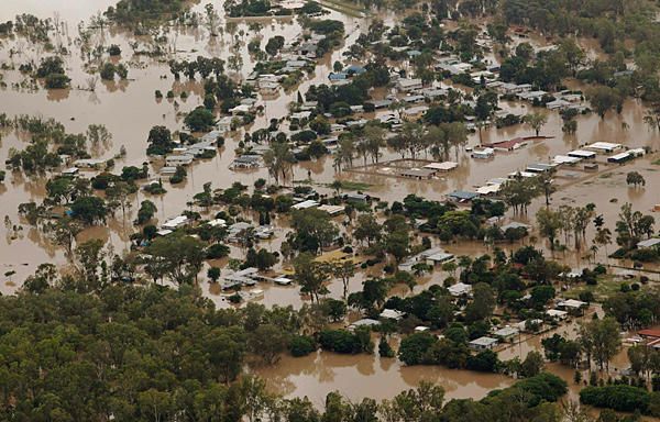 · 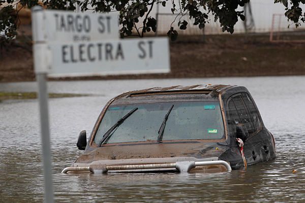 · 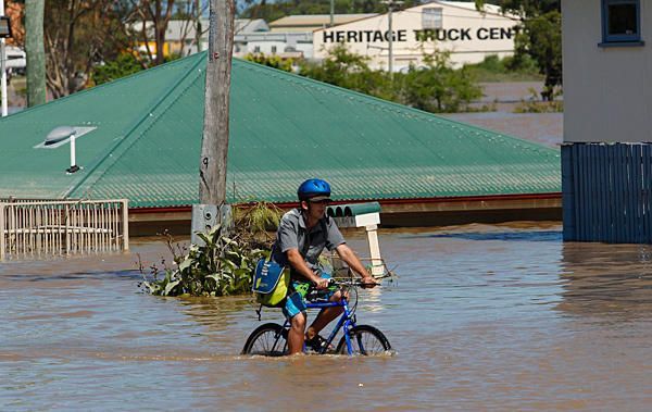 · 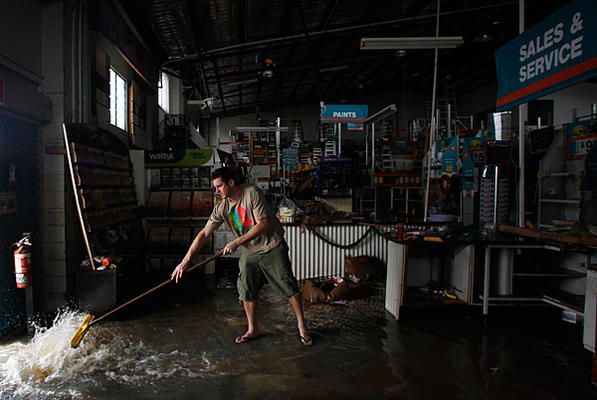 · 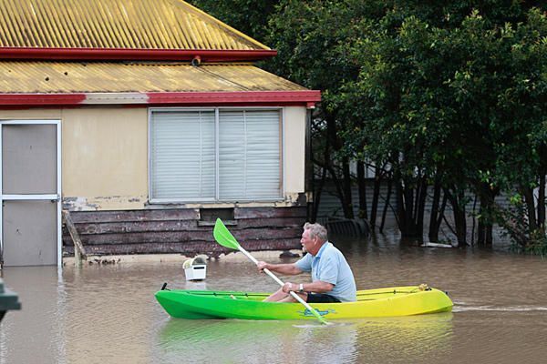 · 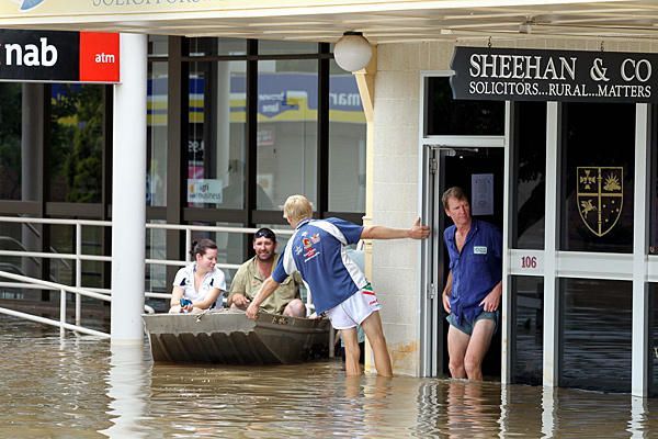 · 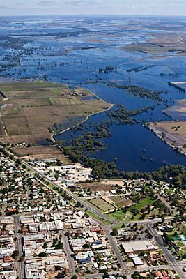 · 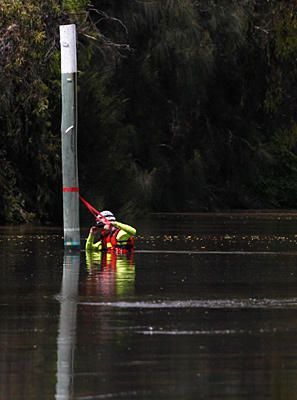 · 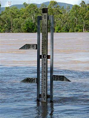 · 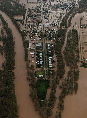 · |


